Know Before You Go: Real-Time Traffic Updates Now on Google Maps
Duke now feeds real-time road closure data to Google Maps to help drivers navigate campus more easily

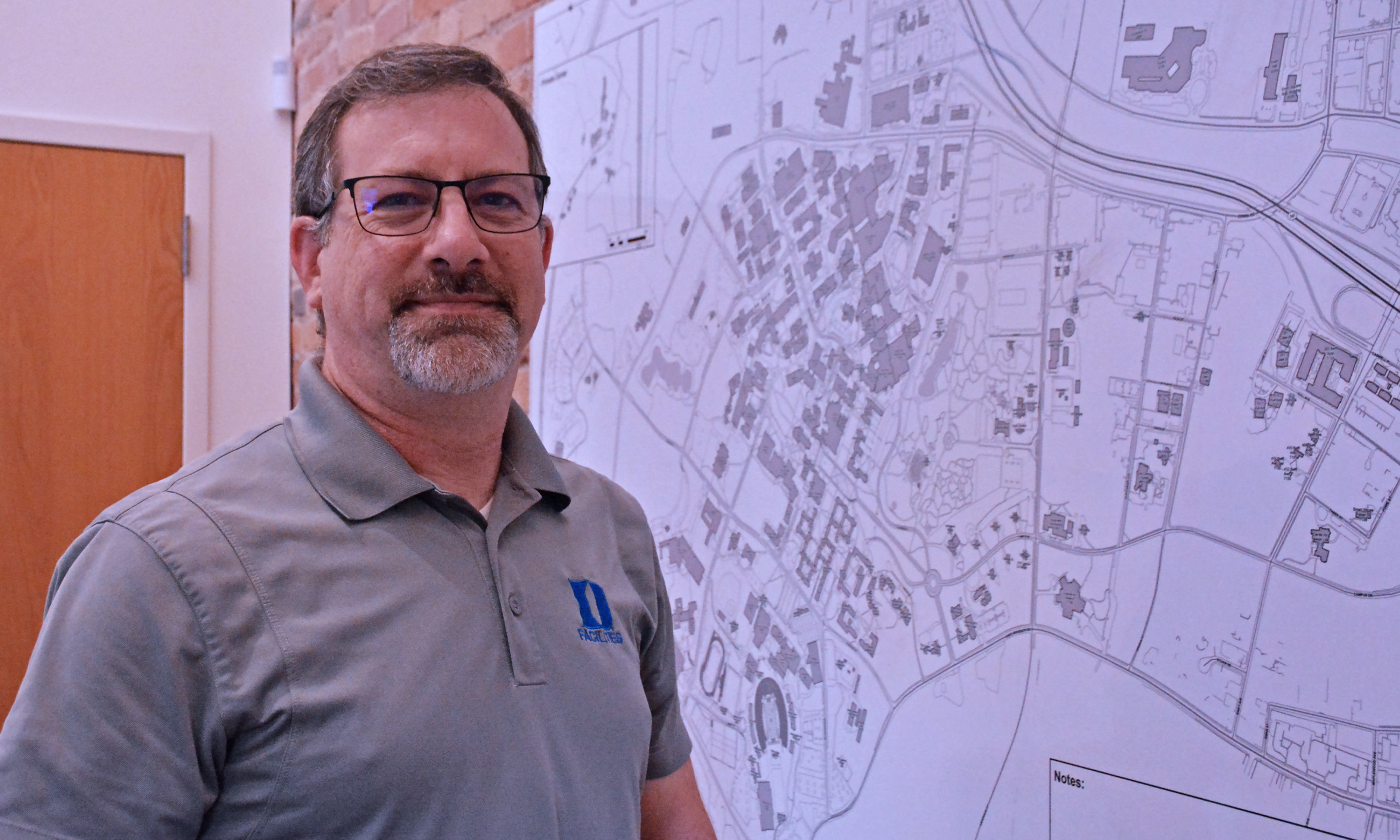
For the past 19 years, Anspach has been Duke’s mapping expert, overseeing a detailed digital database that catalogs every inch of campus.
In April, after completing a verification process with Google, Anspach and Duke Facilities Management GIS Technician Sikai Wang became Google Map Content Partners, giving them the capability to share changes to any map information within Duke’s campus boundaries directly to Google, resulting in quicker updates. One of the first things Anspach did was alert Google to the location and duration of road closures associated with the construction and utility projects unfolding at Duke this summer.
“I handle anything on campus that has a spatial component, that’s everything from flower beds to building footprints and floorplans to fire hydrants,” said Anspach, whose data is used to plan construction and maintenance projects and help with space allocation for departments and units across Duke. “Anything that can be looked at, anything you can put a finger on, we put into our geographic database.”
Now, when Google Maps users view the traffic data, they see the entrance to Duke Gardens, stretches of Towerview Road and the Chapel Drive entrance to West Campus all marked closed.
“It’s going to be a big help for anyone that’s trying to get through campus,” Anspach said. “It might take me a few minutes to put a submission in, but that can save quite a bit of time for people trying to get through campus and save them from having to turn around and getting frustrated.”
Send story ideas, shout-outs and photographs through our story idea form or write working@duke.edu.
Follow Working@Duke on X (Twitter), Facebook and Instagram and subscribe on YouTube.